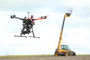
 Drone technology is becoming increasingly widespread in the farming sector, but it can be hard to keep up with new developments – or even get started in the first place.
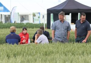
Whether you’re new to drones or looking to upgrade to the latest equipment, a day at the Cereals Event will provide everything you need to know. This year its Drone Zone is bigger and better than ever, with an on-site flying cage for short flights and demonstrations, and a nearby arable field for longer flights, complete with a large screen to display data being collated and how it can be used.
“Farmers can use drone technology and data to improve the precision and efficiency of their businesses,” says event marketing manager, Natalie Reed. “Arable producers are increasingly turning to drones as a more efficient way of viewing large crop areas to identify weeds and crop stress levels, estimate yields, and potentially even apply sprays.” However, with a wide variety of technology on offer, and stringent legislation governing the use of drones, it’s vital to be equipped with the latest information.
Visitors to the Cereals Event can see different drones flying, get advice on cameras and software, gen up on flying legislation, and see how the data collected can yield real practical benefits on farm. “Drones are a relatively cheap and quick way to assess the health of crops, tying into precision mapping and agronomic advice,” says Miss Reed. “The latest generation can even apply precision sprays and other inputs, but come with additional safety concerns so it’s essential to be well-informed.”
Drone AG will be debuting its latest weather-proof drone system and software this year, which allows farmers to cover a greater area than ever before. “While the data collected by drones is extremely useful in activities such as assessing plant health and identifying weed growth, we have experienced issues with turning the raw data into useable on-farm information,” says managing partner Hugh Wrangham. “Using a new sophisticated software system – AeroView – and our Storm Drone system farmers can map up to 300ha per day, with the data processed and ready to be analysed within 24 hours.”
While drones provide a range of different imaging services, Crop Angel will also be demonstrating how its spraying drone can be used “Spraying drones are particularly useful in areas where a conventional or knapsack sprayer is difficult or impossible,” says director Chris Eglington. “This mainly includes inaccessible areas such as dense vegetation or where ground conditions make conventional sprayers unsuitable or would lead to major structural damage of the soil. From the air, it’s possible to find out an awful lot more about your fields and react in a targeted, cost-effective manner.”
Safety is an important part of drone usage, especially as second generation drones are larger and can weigh more than 20kg. Jonathon Gill, mechatronics teaching assistant at Harper Adams University, will be discussing the work the university has been doing, in conjunction with the RAF, to pave the way for on-farm use of this technology.
“We have been approached by farmers requesting an affordable solution to inaccessible areas on their land,” says Mr Gill. “They see spray drones as the answer. Currently, legislation does not allow the application of chemicals by a drone, however we are working with organisations to dissolve these barriers, with safety in mind at all times.”
